Airborne SAR Platforms
Flexible, detailed topographic mapping and rapid disaster monitoring from aircraft.
Synthetic Aperture Radar, Sputnik-class satellites, mission software, and precision electronics — the full technology stack behind our end-to-end services.
High-resolution imaging that sees through cloud and darkness — for topographic mapping, disaster monitoring, environmental research, and national security.
Flexible, detailed topographic mapping and rapid disaster monitoring from aircraft.
High-resolution imaging from low Earth orbit for environmental research and security.
Compact units adaptable for drones and small satellites, making advanced imaging accessible.
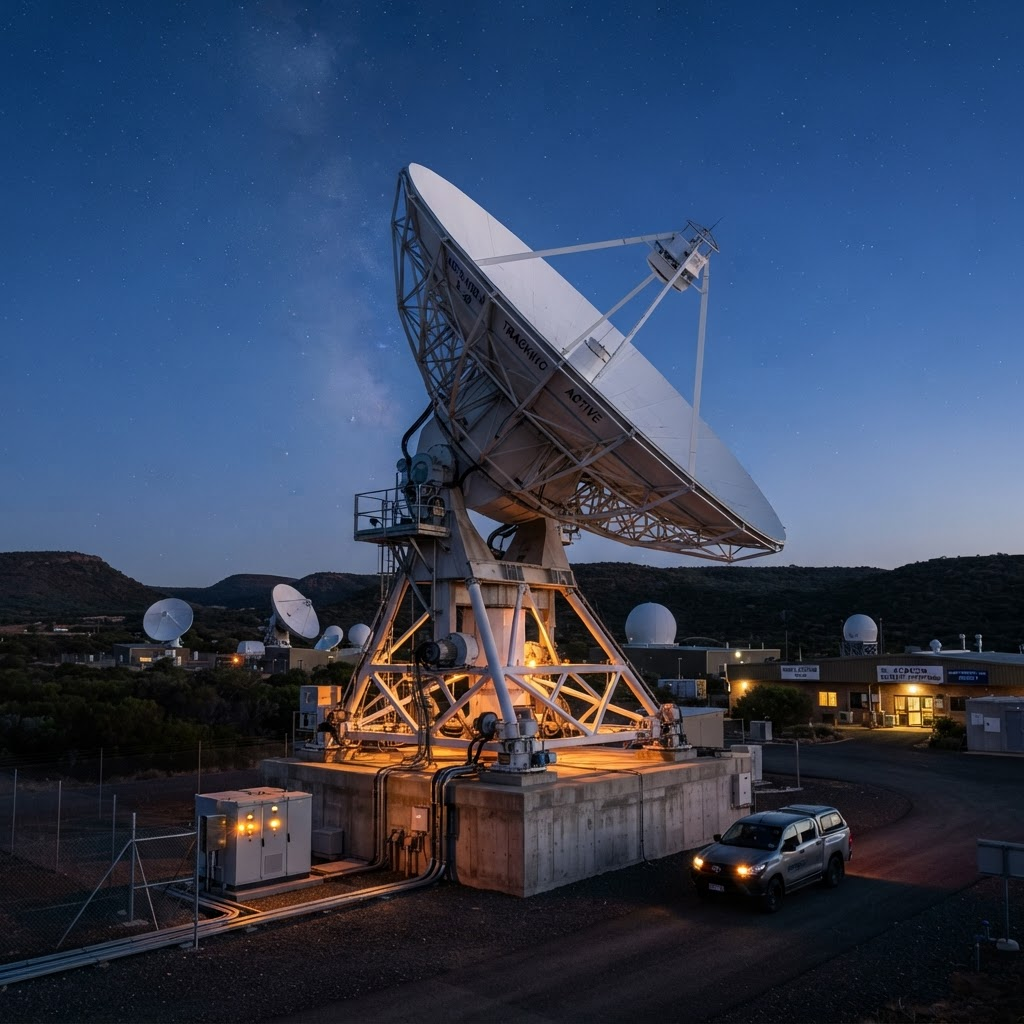
From ground track to low Earth orbit — one continuous signal chain.
Tracking · 21.0°NOur satellite solutions cover a range of applications across commercial, scientific, and connectivity missions.
Lightweight and economical — perfect for commercial and scientific missions in low Earth orbit.
Designed to enhance IoT networks and enable resilient global communications.
Tailored for atmospheric studies, Earth observation, and experimental research.
Robust solutions built for satellite operation, data management, and onboard telecom hardware.
Custom-built interfaces for satellite operation and real-time data management.
Advanced algorithms for real-time image analysis and visualization.
Secure software for onboard satellite electronics and telecom hardware.
A comprehensive range of high-precision parts engineered for aerospace and telecommunications.
High-precision radio frequency components for clear, reliable communication.
Tailored circuit boards designed for aerospace and telecommunications.
Dependable power converters and systems for continuous satellite operations.
Specialized tools for satellite assembly, diagnostics, and calibration.
Whether you need SAR imaging, a nano-satellite platform, or custom flight software, our team will help you scope it.